Conference Service
Organising IPC2025 and Presenting an Oral Report in Perth
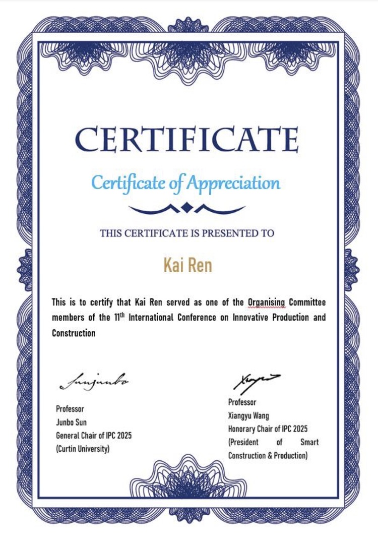
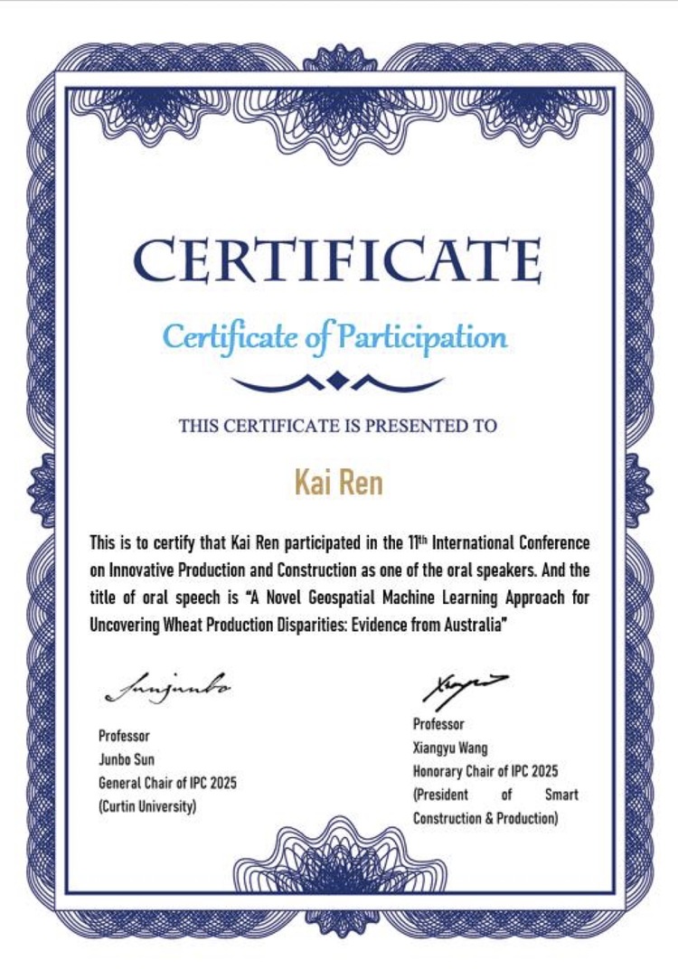
As one of the Organising Committee members, I helped organise IPC2025, participated in the conference, and presented an oral report in Perth.
IPC2025
As one of the Organising Committee members, I helped organise IPC2025, participated in the conference, and presented an Oral Report titled "A Novel Geospatial Machine Learning Approach for Uncovering Wheat Production Disparities: Evidence from Australia" at the International Conference IPC2025 (4-9 August 2025, Perth, Australia).
Photos